
The “Spirited Canopy” Reset: The Platypus Track
A mini rainforest in the heart of Castle Hill
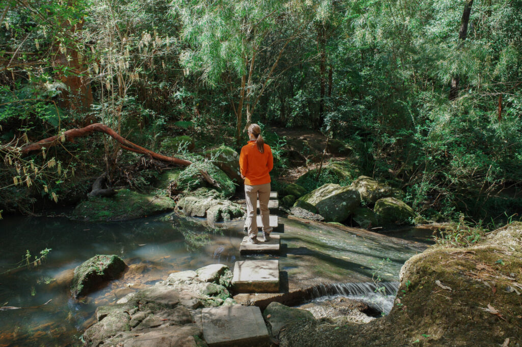
The moment you drop below the ridgeline here, the landscape starts to shift into a dense mini-rainforest tucked away right on your doorstep.
Compared to some of the other loops in our Monte’s Trails series, this one is definitely more lively. You are likely to share this path with a steady stream of other walkers depending on what time you head out there.
There is plenty of easy street parking, and more importantly, the primary track, the Platypus Track, is the shortest of three paths within the reserve and forms a natural loop, which is always my personal preference for an unhurried walk.
The Trail Snapshot
| Feature | Details |
| Duration (Platypus Track) | Approx. 45 minutes to 1 hour for the 1.7km loop at a slow, observant pace |
| Terrain | A highly engaging mix of flat dirt tracks, rough-hewn sandstone steps, and natural stepping stones |
| Difficulty | Easy/ Moderate (The gully descent and stairs require steady footing) |
| Vibe | Spirited and community-shared, with a cool canopy and the soothing sound of running water |
| Dog Friendliness | Great. On-lead welcome everywhere, though water entry requires a personal safety call |
Getting There & Hints
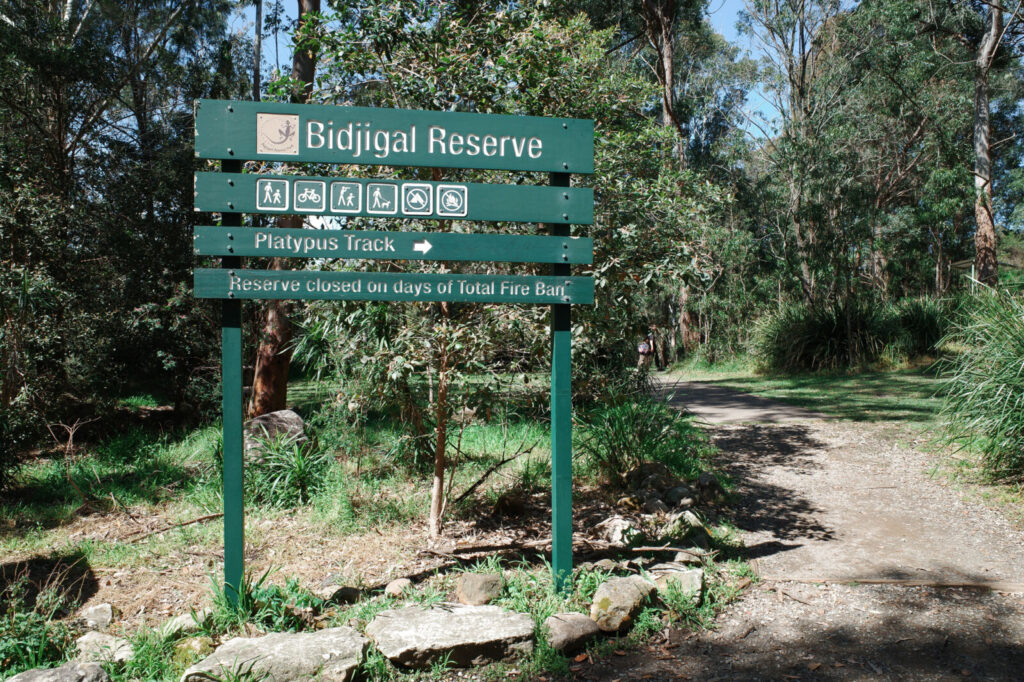
- 📍The Entry: The best access point to kick off this loop is from the trailhead entry located right at the eastern end of Excelsior Avenue, Castle Hill NSW 2154. (Tapping the address will take you straight to Google Maps!)
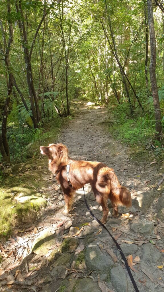
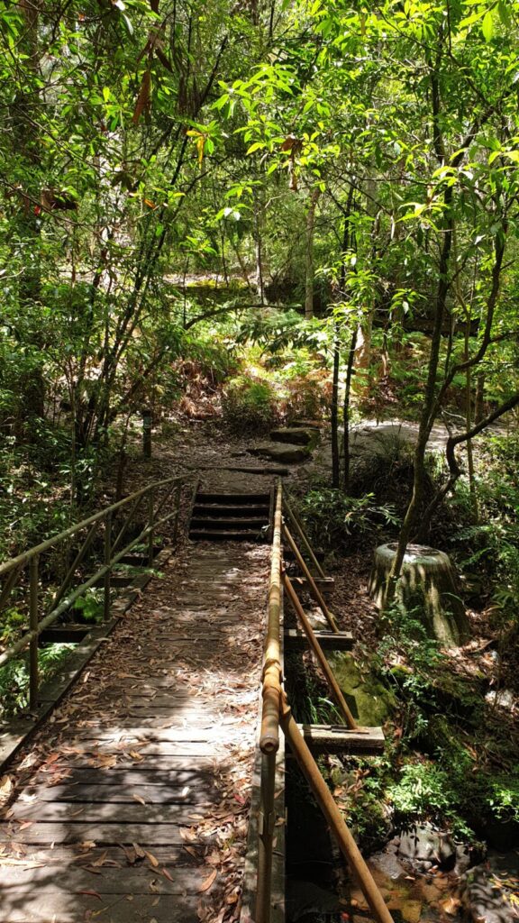
- Practical Essentials: The track surface is highly varied. You will move from smooth, flat dirt pathways to rugged rock stairs. Sturdy walking shoes are highly recommended, especially when navigating the creek crossings.
- The Birdsong Filter: Keep your ears tuned to the upper canopy. If you are lucky, you might hear the distinct, heavy wingbeats and calls of the local black cockatoos feeding high up in the gums. (The Cumberland Bird Observers Club local guide has excellent resources on the vulnerable Glossy Black-Cockatoos that call these bushland corridors home).
- BYO Water: As we found on the Pemulwuy Loop, urban waterways can be unpredictable. – I always carry a fresh bottle and a portable bowl to keep things safe and simple.
A Word of caution
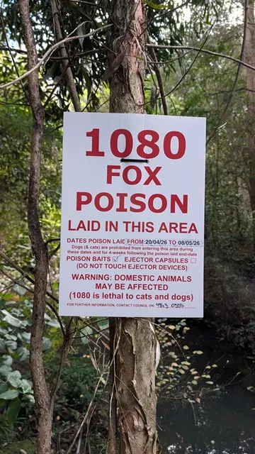
- Watch for 1080 Fox Baiting: Be extra vigilant in the area, as 1080 fox bait is extremely toxic to pets.
- Check with the Council: Check with the Council: It is worth giving the The Hills Shire Council a quick call before your visit to check if any baiting programs are currently running. The sign we spotted had an April to May timeframe noted on it, so timings can vary.
- Keep Your Eyes Open: Warning signs are often placed in unusual, non-obvious locations, so stay alert and keep a close eye on your surroundings.
Monte’s Perspective
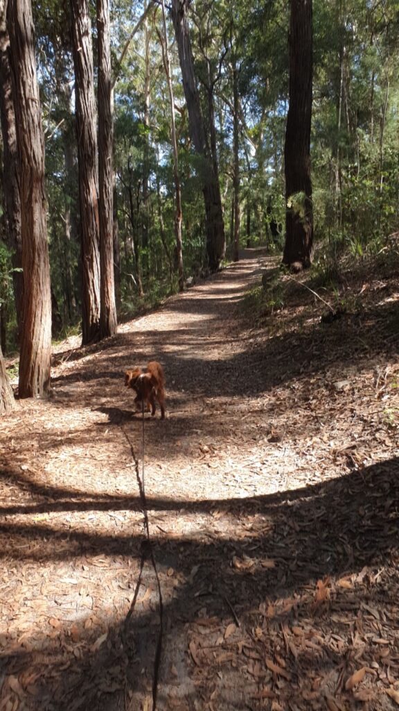
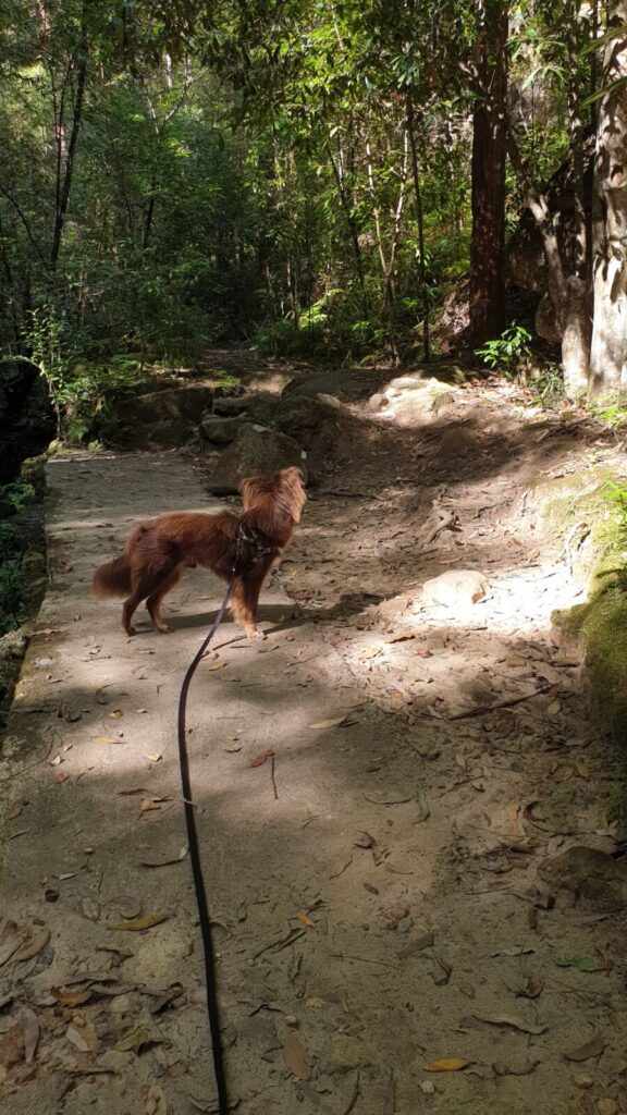
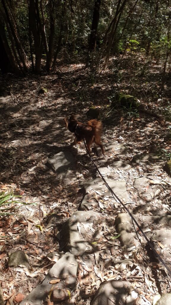
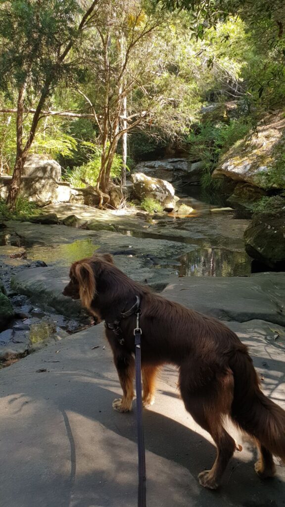
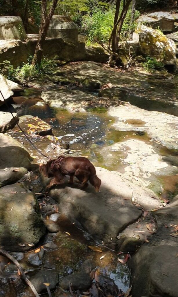
This is what I call a “spirited” thinking walk. Because the Platypus Track moves through a damp valley floor and sees a steady stream of local visitors, the environment is incredibly dynamic. For a constant thinker like Monte, the shifting smells of the creek bed combined with passing foot traffic offer a completely different kind of mental engagement. The quick transitions between flat earth and stone stairs keep his focus sharp, without the need for an exhausting, multi-kilometre hike.
The Organic Layers: Flora & Fauna
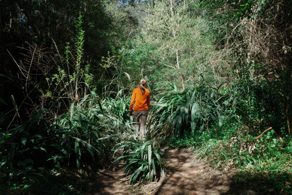
It is a beautiful study in how the landscape transforms the moment you drop below the suburban streets of Castle Hill:
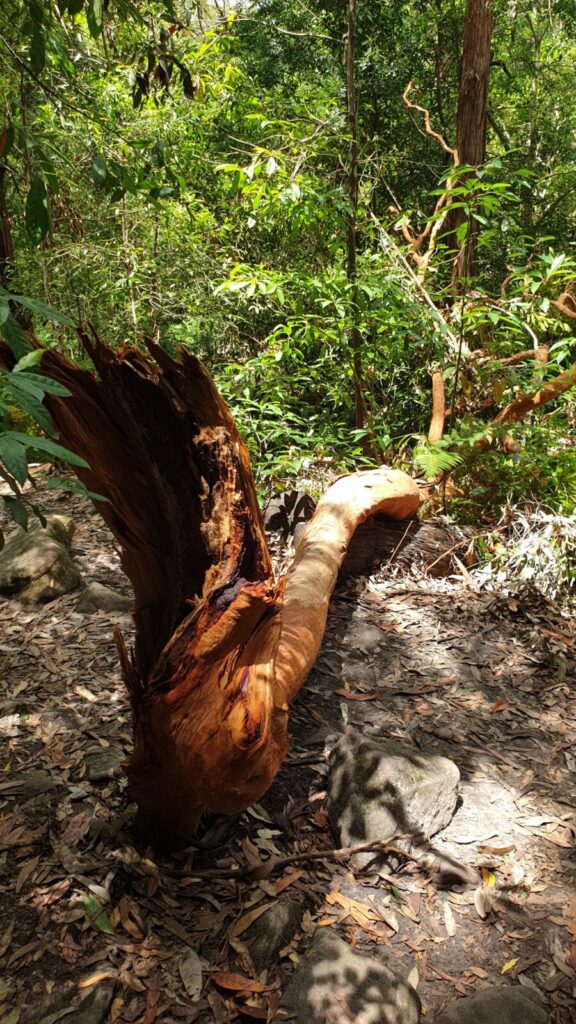
- The Canopy: Towering native gums create a high, protective ceiling, filtering the harsh afternoon light into gorgeous, soft shadows across the valley floor.
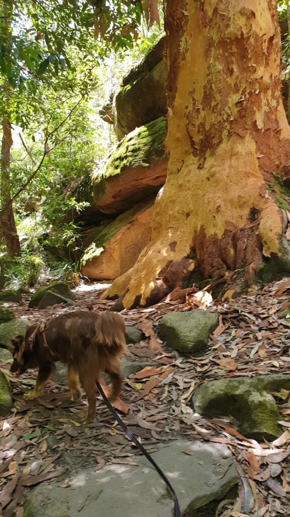
- The Undergrowth: Along the banks of Excelsior Creek, the landscape shifts into a lush world of delicate ferns, damp mossy rocks, and thick native grasses. The air down here feels noticeably cooler and heavier.
- Wildlife: While the upper canopy belongs to the black cockatoos, keep an eye on the rock ledges near the water crossings for Eastern Water Dragons sunning themselves. They sit so incredibly still they easily blend into the sandstone grey.
A Note on the Water
As you trace the edge of Excelsior Creek, you will inevitably see plenty of people letting their dogs have a little swim and play in the water. While it looks idyllic, I always hold my reservations about the quality of urban waterways. Monte is fascinated by the reflections and movement, but I generally make it a rule to keep him out of the creek bed.
The Water Reality: Urban Catchments
When a natural track sits directly below a busy suburb like Castle Hill, the creek becomes the collector for the entire surrounding urban catchment. Because major urban infrastructure was installed along the valley floor in the 1970s, the stormwater runoff can carry the unseen footprints of suburban life down into the valley. Depending on the weather and the flow, you may occasionally notice an odor near certain parts of the track, which is exactly why I keep Monte firmly on the path and out of the creek bed.
Choosing whether to let your dog dive in is ultimately a highly personal call for every owner. For us, the rich sensory layers of the trail itself provide more than enough mental enrichment.
Trail Secrets: The Disappearing Monotreme
What I love about these local trails is the history hidden just beneath the surface. There is a bittersweet reason why this route is named the Platypus Track. Up until the mid-1970s, these quiet pools were home to a thriving local platypus population. However, when the sewer infrastructure was installed along the valley during that decade, the environmental disruption altered the delicate creek ecosystem, and these elusive creatures haven’t been seen here since.
Long before European settlement, this 186-hectare reserve was a vital sanctuary for the Bidjigal clan of the Darug Nation, who used the deep valley for shelter, hunting, and fishing for thousands of years. Walking here feels like a quiet nod to the history that has grounded people on this land for over 40,000 years. Later, in the 1820s, these same rugged sandstone cliffs reportedly served as a hideout for the infamous bushranger “Bold Jack” Donahue. Further along, you will reach Loch Bruce, a stone-walled pool that locals built back in the 1940s for swimming; it’s a lovely, nostalgic reminder of how this community used to gather here.
Part of a Larger Network
While this 1.7km loop is the perfect size for a one-hour reset, it is actually just one thread in a much larger network of trails weaving through Bidjigal Reserve. Depending on how much time you have, the Platypus Track directly intersects with two other paths, though it is worth noting they are not all neat loops:
- The Burraga Track: A longer, 4.7km path that pushes deeper into the sections of the upper bushland. Combined with the Platypus loop, it forms a sprawling, interconnected figure-eight.
- The Murri-Yanna Track: An 8km route that offers a beautiful trail along each side of the creek, though it is a strictly linear path stretching all the way from North Rocks to West Pennant Hills.
I am already planning to map out these longer routes in future posts, looking at how they connect, where they lead. – But for a quick afternoon escape where you want a bit of varied terrain and a satisfying loop layout, the Platypus Track remains a wonderful local classic.
Have you discovered this spot yet? Drop your favourite local ‘reset’ tracks in the comments, I would love to check them out!
Leave a Reply